Speed, Precision, Control — All On-Site.
Harness the power of higher frequency geospatial data processing and the fastest time to data
Enhance operational efficiency with high-precision data at higher frequency. With full-site awareness in near real-time, teams can respond immediately to changing conditions, and optimize resource allocation by continuously monitoring site dynamics with up-to-date, accurate information.
On-premises processing ensures immediate, reliable data by keeping sensitive information secure on-site. By eliminating reliance on unstable network connections in remote locations, this approach enhances operational efficiency by maintaining full control over critical data and enabling timely, informed decision-making.
From capture to processing, we deliver high-precision outputs in under 30 minutes—significantly faster than competitors who take several hours.
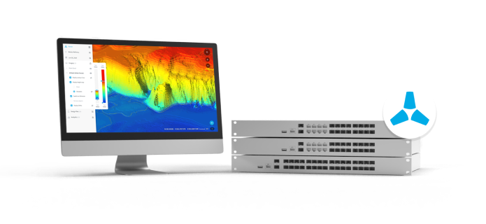
Unlike manual tools, which can produce inconsistent results with different operators or datasets, EdgeServer ensures consistent and repeatable output by fully automating the data processing workflow —regardless of data volume. This consistency is essential for maintaining accuracy and confidence in the results.
Gain a Competitive Edge with the fastest Processing. Faster insights and quicker decisions, giving mining operations a real edge.
| Software | High Resolution | High Density |
|---|---|---|
| Competitor 1 | 4 hours | 5.5 hours |
| Competitor 2 | 3.5 hours | 5 hours |
| Skycatch EdgeServer | 30 minutes | 40 minutes |
| Software | High Resolution | High Density |
|---|---|---|
| Competitor 1 | 7.5 hours | 10 hours |
| Competitor 2 | 6.5 hours | 9 hours |
| Skycatch EdgeServer | 1 hour | 1 hour 20 minutes |
| Software | High Resolution | High Density |
|---|---|---|
| Competitor 1 | 11 hours | 14.5 hours |
| Competitor 2 | 9.5 hours | 13 hours |
| Skycatch EdgeServer | 1 hour 30 minutes | 2 hours |
Here’s how EdgeServer can empower everybody on the team:
By providing fast and accurate on-site data processing, EdgeServer allows Chief Surveyors to analyze survey results rapidly. This accelerates decision-making on land measurements and site planning, reduces reliance on external processing, and minimizes downtime. It ensures consistent, reliable data, boosting overall project efficiency and accuracy.
EdgeServer enables geologists by providing fast, high-resolution geospatial data processing, enabling them to quickly analyze terrain, rock formations, and other geological features. This helps geologists make more informed decisions about resource locations and extraction, improving both the accuracy and speed of their analysis without relying on off-site processing.
Mining engineers are able to plan and optimize extraction processes more effectively with EdgeServer’s fast, high-precision data. With real-time, accurate insights into terrain and resource locations, they can make informed.
Geotechnical Engineers need high-precision and high density data, so they can interact with the physical world and monitor mining engineers as well as construction efforts. EdgeServer enables them to assess stability, identify potential hazards, and make informed decisions on-site. This improves safety and efficiency in planning and monitoring excavation or construction activities.